
EXports
Export files to CAD, PDF, CSV & more
Share measurements with clients, colleagues, and your favorite design software.
Choose your Moasure

Try it with our 60-day money-back guarantee
How it works
Export measurement drawings & data in a few taps
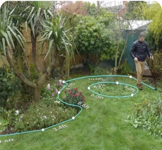
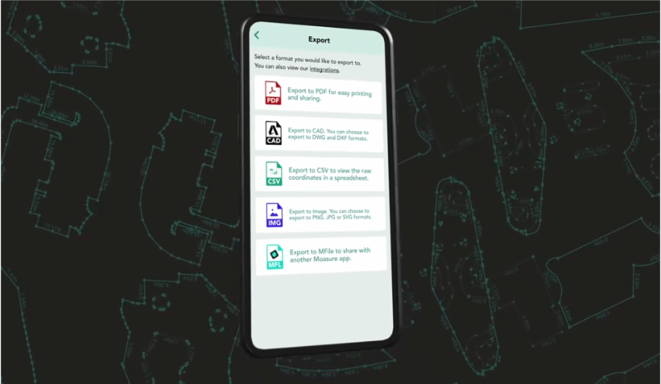
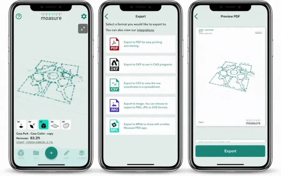
Generate detailed and scaled PDFs, CAD-ready DXF/DWG files, CSV data, or images in PNG, JPG, and SVG formats






Choose your Moasure

Try it with our 60-day money-back guarantee
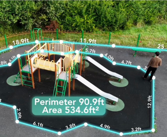
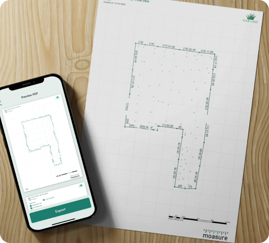
Generate comprehensive PDF documents of your measurements, including a diagram of the measured area and corresponding measurements for each edge, as well as elevation data for each captured point.
Choose from ‘Scale to Fit’ or select from metric or imperial engineering and architectural scales. PDFs include a full-page grid, a scale bar, and dimensions and labels to bring your measurements to life with clarity and precision. Moasure supports a wide range of paper size options, including A0 to A4, as well as engineering paper sizes such as ANSI C to E.
Additionally, add your logo to your PDF to enhance your professional image with your clients.

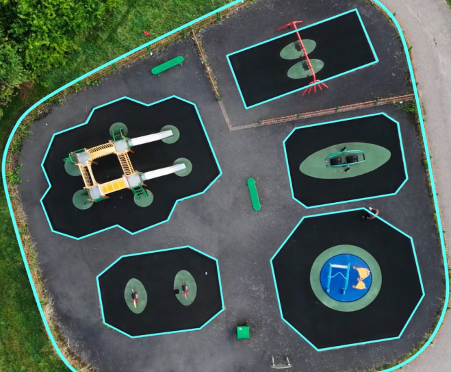
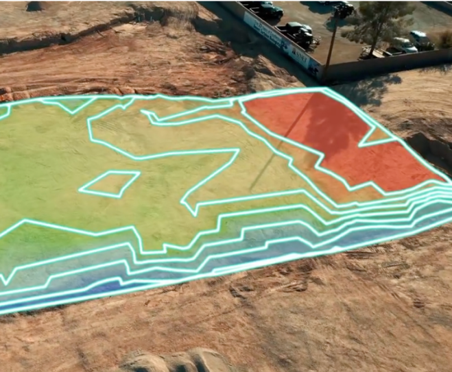
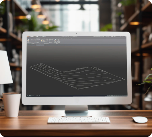
Enhance your design workflow by exporting a diverse range of views, including 2D, 3D, Surface, and Contour, directly to DXF files.
This opens up a world of possibilities, allowing you to seamlessly integrate your measurements into industry-leading CAD applications such as AutoCAD, SketchUp, Vectorworks, and ArcSite.
Simplify your design work by quickly sending different measurement views like 2D, 3D, Surface, and Contour as a DWG file to colleagues and clients.
This enables you to utilize your measurements with CAD software like AutoCAD, SketchUp, Vectorworks, and ArcSite, improving your project's speed and precision.
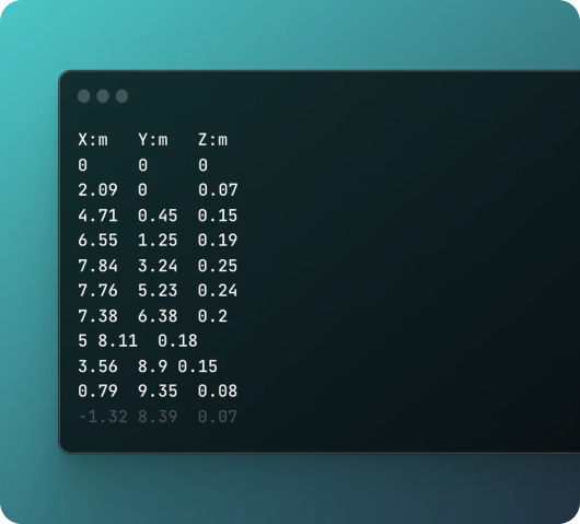
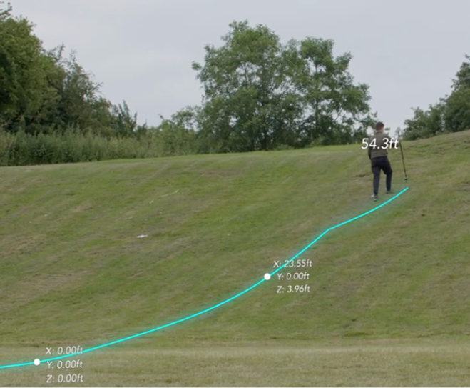
Optimize your workflow by exporting point clouds directly to CSV files. The resulting file captures x, y, and z coordinates, offering a detailed snapshot of your measurement data.
Tailor the output to your needs by selecting the specific data points you'd like to include, ensuring the file aligns perfectly with your requirements. This flexibility allows for seamless integration of coordinate data into CAD applications, streamlining processes and enhancing efficiency.
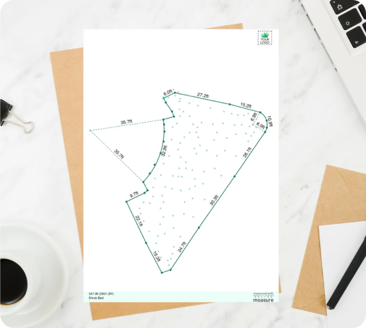
Share your measurements in an attractive and accessible manner, by seamlessly exporting them to various image formats, including: PNG, JPG, and transparent SVG.
Incorporate your measurements into presentations, reports, or any documentation where visual representation is key. The inclusion of transparent SVG adds an extra layer of sophistication, allowing for smooth integration with different backgrounds, enhancing the visual appeal of your measurement drawings.
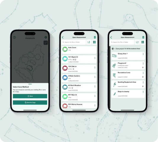
Export to MFL
Easily share your Moasure files from one device to another. Simply share your file from the Moasure app and open the file on any other device to easily transfer your measurements. Use our in-app file management to keep everything organized.
Accelerate your workflow with Moasure
Integrate Moasure with the software you already use.
Choose your Moasure

Try it with our 60-day money-back guarantee
Testimonials
Hear real stories from customers using Moasure
Over 100,000 professionals love using Moasure to quickly export files to their preferred software, and to share with clients in just a few clicks.
Frequently asked questions
Everything you need to know about exporting with Moasure.
Yes, DXF files can be imported to most CAD programs. You can also export to DWG if you'd prefer.
Yes, you can export x, y, z point cloud data using our CSV export option, allowing you to effectively manipulate coordinate data for your project's requirements.
Yes, all views (2D Plan, 3D, 3D Surface, Contour View) can be exported to DXF and PDF formats.

CHOOSE YOUR MOASURE RISK-FREE
100% money-back guarantee
Every Moasure device is tested to ensure it meets our accuracy and precision standards.
Plus, every order comes with a 60-day money-back guarantee as standard.
Thousands of professionals have transformed their workflow with Moasure.
Give it a try and you’ll never look back.

Choose your Moasure

Try it with our 60-day money-back guarantee
MOASURE FEATURES
See what else Moasure can do
With a range of professional features available, learn more about each one here.

